-
AboutThe company is mainly engaged in the research and development, production, integration and technical services of intelligent gas, intelligent water information system and intelligent water meter and intelligent gas meter.
-
Ultrasonic Water MeterThe ultrasonic water meter is the all-electronic meter using the time difference of the forward and backward flow of ultrasonic signal in the water to measure. It has the features of reliability, high accuracy, temperature compensation and so on. Comparing with the traditional mechanical water meter, this one has the significant improvement in accuracy, life and pressure loss, it is the ‘smart water meter 2.0 version’ product.
-
Smart Gas MeterThe company is mainly engaged in the research and development, production, integration and technical services of intelligent gas, intelligent water information system and intelligent water meter and intelligent gas meter.
-
Ultrasonic Module
-
Factory Solution
-
ContactThe company is mainly engaged in the research and development, production, integration and technical services of intelligent gas, intelligent water information system and intelligent water meter and intelligent gas meter.


Ultrasonic Module
The company is mainly engaged in the research and development, production, integration and technical services of intelligent gas, intelligent water information system and intelligent water meter and intelligent gas meter.
GIS pipe network and water supply dispatching system
Product introduction:
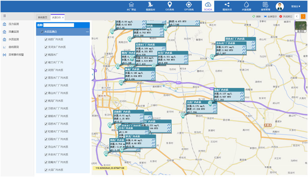
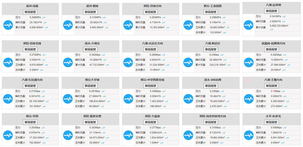
Realize the comprehensive visual management of water sources, water plants, pipe networks, pumping stations and other facility assets in the water supply area, and the integrated management of drawings and files, and the panoramic water supply "one map". Real-time data monitoring and display, water plant data, pressure, flow, water quality and other data real-time monitoring, the monitoring data can be flexibly layered, graded, sub-topic graphical display according to needs.
Application Scenarios:
It can be applied to the management of pipe network assets and appendages of water supply units such as urban water supply, rural water supply and municipal complex.
Product features:
① Water supply panorama "one map" display;
② Data monitoring and real-time display based on "one map of water supply;
Support equipment maintenance and full life cycle management;
④ Based on data analysis to achieve intelligent analysis and scheduling of water supply;
⑤ Support work order management and interface with third-party business.
Typical customer:
Linyi Water Group, Qufu Tap Water, Jiyang Agricultural Development Group, Changyang Water Conservancy Bureau.
Screenshot Reference:
sale@qd-ies.com
support@qd-ies.com